Google Earth(Comments RSS)
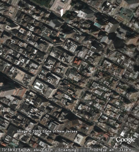
This morning I've been playing some with Google Earth. I had downloaded it a few weeks back when it came out, but hadn't had time to check it out. It's a desktop version of Google Maps, and it uses streaming to download the detailed terrain data. Works pretty well, below is a pic of my neighborhood from 3,000 feet.
You can see the Empire State Building in the lower left corner.


8/1/2005 7:12 PM
I've also downloaded NASA's World Wind. Haven't had time to play with that yet, but it's supposed to be very neat. Check it out:
http://worldwind.arc.nasa.gov
Albert